So much rain and snow may boost hydropower — good news for California’s grid
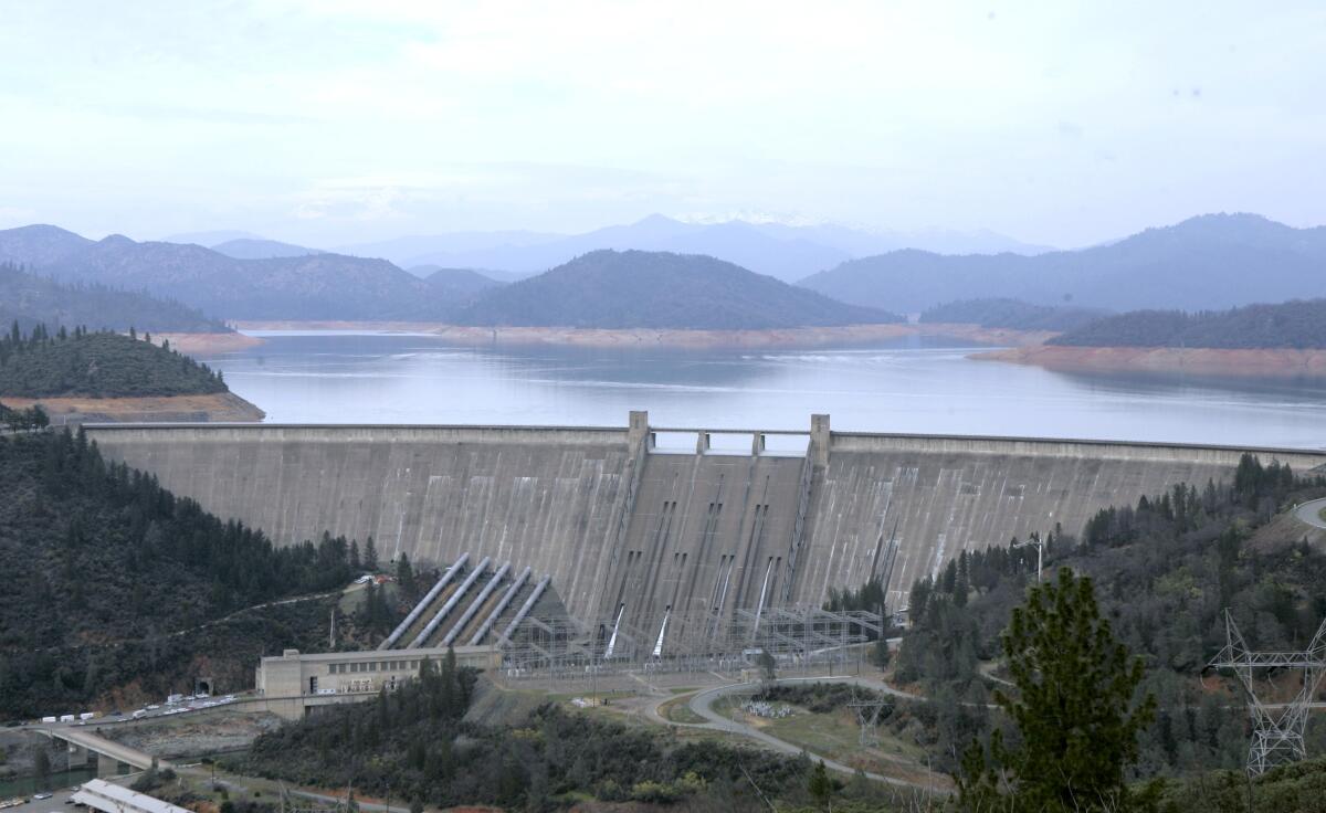
Rising reservoirs and a deep snowpack have officials crossing their fingers that the hydropower will have a good year, helping power grid operators.
- Share via
Torrential rain across California in recent weeks has caused plenty of misery, but it could also generate some good news on the energy front: If rain and snow totals hold up, all the precipitation will boost hydroelectric production — and that would help the Golden State’s electric grid, especially in the summertime when the system comes under strain.
“Based on the reservoir levels and what we’re seeing this year, we expect to have more hydroelectricity generated this year than we have for the last several years,” said Lindsay Buckley, spokesperson for the California Energy Commission.
Shasta Lake near Redding is California’s largest reservoir, feeding the Shasta Powerplant, which produces hydroelectric power for the 15-state Western power grid. As of midnight Monday, Shasta Lake was up to 83% of average, according to the Department of Water Resources.
Reservoir levels at Oroville Dam in the Sierra Nevada foothills, which serves the Edward Hyatt Power Plant, are up to 104% of average. The Folsom Dam near Sacramento has swollen to 123% of average.
Snowpack in the Sierra is also piling up fast.
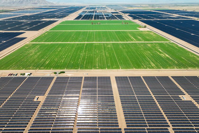
Replacing agriculture with solar panels could help solve the West’s energy and water crises. But farmers are fighting back.
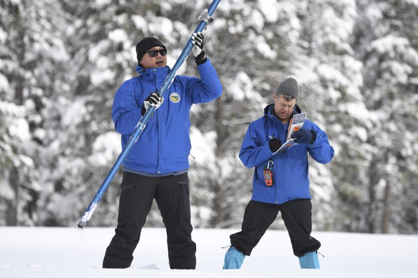
The UC Berkeley Central Sierra Snow Lab, at an elevation of nearly 7,000 feet at Donner Pass, reported receiving 80.9 inches of snow in the last week.
Melting snow in springtime feeds the rivers that help power large hydro facilities, and “snow water equivalent” is a crucial metric. It refers to the overall amount of water the snowpack contains and will release when it evaporates.
As of Tuesday morning, the snow water equivalent measured by the Snow Lab stood at 35.6 inches, compared with 17.2 inches for an average year. That’s 207% of the average for the current water year, which runs from Oct. 1, 2022, to Sept. 30, 2023.
“That means we [have] just about twice the amount of water in the snowpack that we would expect [at] this point in that water year,” said Andrew Schwartz, the Snow Lab’s lead scientist.
The average peak for snow water equivalent is already at 96%.
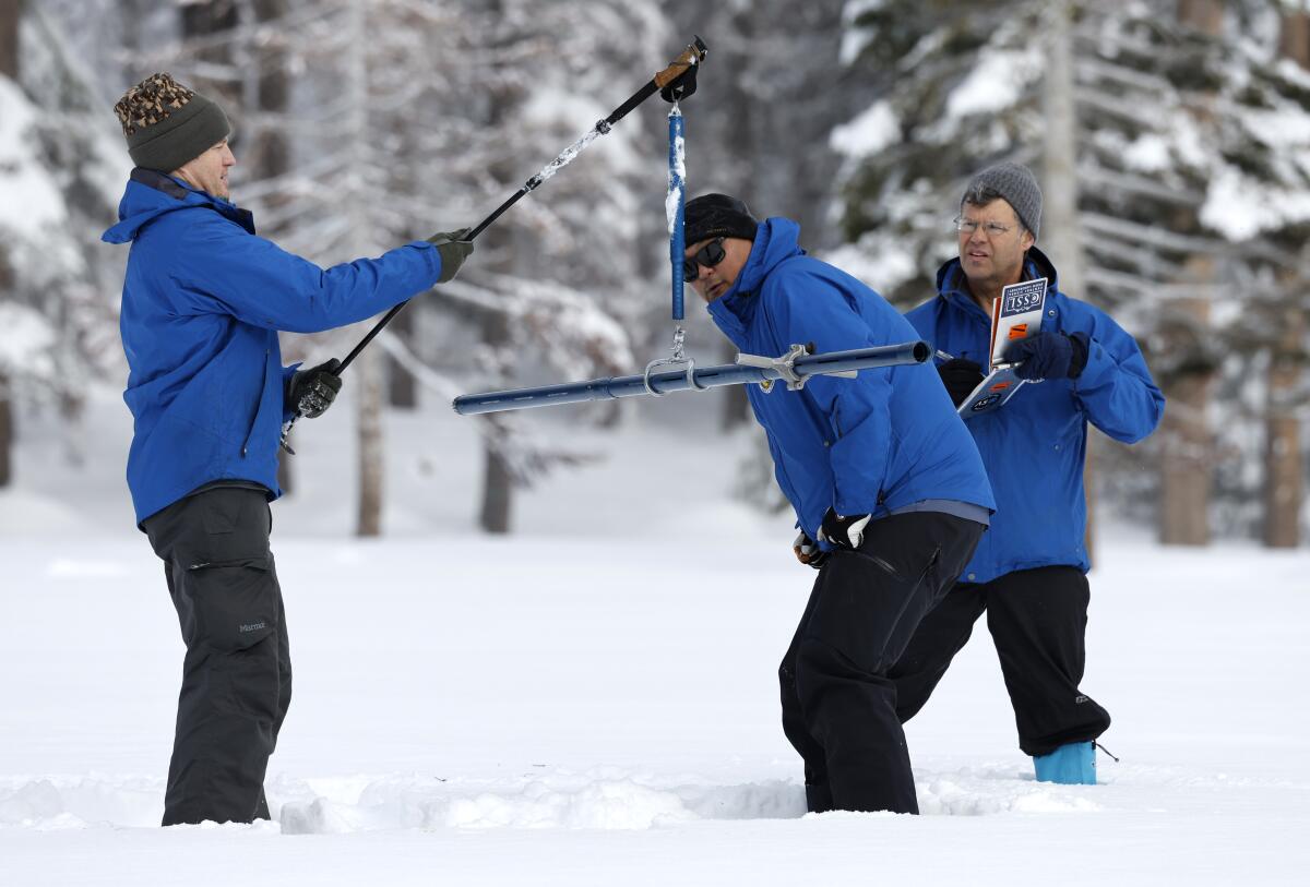
“We typically hit our peak snowpack depth in water equivalent at the end of March, and we’re already nearly at what that peak normally looks like,” Schwartz said. “So we’re effectively hitting what would be our normal peak in snow water equivalent about 2½ months early.”
A healthy hydro year can give California’s grid operators a valuable asset.
Shortages of hydro lead to ramping up of natural gas generation to help make up the difference, which increases greenhouse gas emissions.
An abundance of hydro also means grid operators can be a bit less reliant on electricity from out-of-state sources.
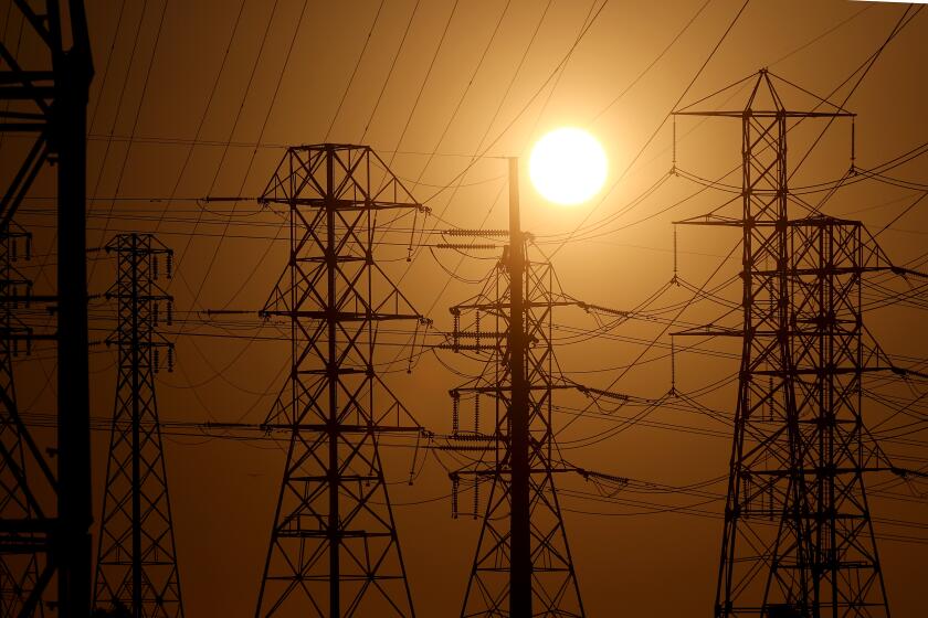
It also gives power system managers more flexibility at peak times during the summer, such as from 4 to 9 p.m. Those are the hours when solar generation dissipates as the sun goes down but demand remains high as customers keep their air conditioners running until temperatures cool off.
Keeping the lights on may keep getting harder as the planet warms. But solutions are in sight.
A stressed grid led the California Independent System Operator last summer to issue 10 consecutive days of Flex Alerts that called on utility customers to voluntarily cut back on energy consumption.
In wet years, such as 2016-17, hydro facilities can supply around 21% of all in-state generation to the grid.
But in dry years, the numbers can plummet. In 2015, large-scale and small hydro combined to produce just 7.1% of in-state generation. The numbers for 2022 are still being tabulated by the energy commission, but in 2021, hydro accounted for a meager 7.5% of in-state generation.
Officials at the California ISO, which manages the electric grid for about 80% of the state, will hold off on making any projections on hydroelectricity output until they conduct their summer 2023 assessment in May.
“Even though we’ve received lots of rain so far, we don’t know what the rest of the season will be,” California ISO spokesperson Anne Gonzales said.
There’s reason to be cautious.
A battery of January storms has blanketed the Sierra Nevada in extraordinary snowpack, but will it last through the winter?
Last winter jumped out to a great start, with the Snow Lab measuring record totals for snowfall in December 2021. But Mother Nature abruptly turned off the spigot. The lab recorded no snowfall at all for 37 days in January and February 2022 — the longest period that the lab’s records dating from 1970 had ever gone without winter precipitation.
Rain in Northern and Southern California was sparse as well, and 2022 went down as another year of drought.
“That is so fresh in the back of water modelers’ and managers’ minds right now that we’re a little bit hesitant to start celebrating this amazing snowpack because there is a slim chance that we might see that happen again this year,” Schwartz said.
John Yarbrough, assistant deputy director of the State Water Project for the California Department of Water Resources, sounded a similar note.
“Though early-season precipitation is encouraging, it’s prudent to remain diligent with the water conservation,” Yarbrough said in an email. “Our rainy season is not over and could turn dry, as it did last year.”
The U.S. Bureau of Reclamation and the Department of Water Resources operate large hydro plants in California, including Oroville, Folsom and Shasta.
Meteorologists expect one more storm to come through Northern California and the Sierra, starting Wednesday and lasting through Thursday. Officials at the Snow Lab expect the storm to bring an additional 1 to 2 feet of snow.
More to Read
Inside the business of entertainment
The Wide Shot brings you news, analysis and insights on everything from streaming wars to production — and what it all means for the future.
You may occasionally receive promotional content from the Los Angeles Times.
